Three Transport Canada certified operators delivering enterprise-grade aerial data. Ontario-based, nationally capable, and built around getting the right data into your workflow on time.
Three Transport Canada certified operators delivering enterprise-grade aerial data. Ontario-based, with Canada-wide availability for enterprise contracts. Every mission is planned and flown to get data into your existing reporting workflow on time, in the right format, and ready to use.
We work directly with project leads, safety managers, and operations teams to ensure safe execution of operations and the delivery of accurate, useful data.
Transport Canada Advanced RPAS and Level 1 Complex Operations certified, the highest certification level available for commercial drone operators in Canada.
Redundancy, wider coverage, and the ability to execute complex multi-operator missions that single-operator companies cannot.
Our goal is processed, actionable outputs, not raw footage. Georeferenced maps, thermal reports, and annotated inspection packages.
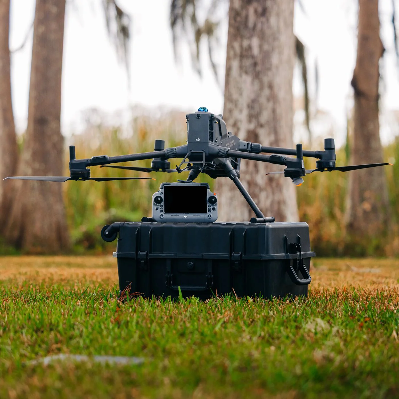
Not locked to a single aircraft. We procure or rent enterprise-grade DJI or equivalent platforms to match every mission requirement.
Headquartered in Ontario with the ability to deploy anywhere in Canada for enterprise contracts.
Standard deliverables shipped within one business day of capture. Complex processing packages inside 72 hours: named, formatted, and ready for your workflow.
Tell us the site, the objective, and the timeline. We respond within 3 business days.