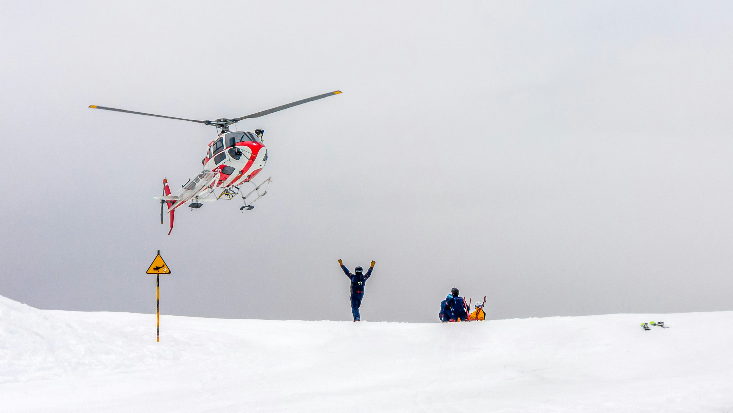
Search & Rescue
- Thermal cameras pick up body heat through dense forest, darkness, and severe weather conditions where ground teams cannot see.
- Covers terrain in minutes that would take ground crews hours to sweep, narrowing the search area quickly.
- Streams live video to incident command so leadership and field teams are looking at the same picture in real time.
- Operates at night, in smoke, and in conditions that ground crews and manned aircraft cannot safely enter.
E.g., A thermal drone locates a missing hiker in dense bush within 20 minutes of deployment, giving ground crews a pinned coordinate to move to directly.
Wildfire Monitoring & Detection
- Thermal and multispectral cameras detect heat signatures hours before smoke becomes visible to the naked eye.
- Tracks fire perimeter growth in real time so evacuation routes can be adjusted as conditions change on the ground.
- Gives incident commanders a live aerial picture of fire behaviour that ground observers cannot safely provide.
- Operates safely in smoke conditions that ground aircraft would avoid, staying on station for extended monitoring windows.
E.g., A thermal drone spots a hot spot on the downwind side of a controlled burn before it becomes a breakout. The crew redirects before it spreads.
Disaster Response
- Surveys damage across a wide area quickly, with no risk to personnel entering unstable structures or flooded zones.
- Documents structural damage, access blockages, and utility hazards in a format that insurance adjusters and engineers can work from directly.
- Locates survivors in collapsed or inaccessible areas using thermal imaging before ground teams commit to a section.
- Gives incident commanders a live aerial picture so personnel, equipment, and support services can be moved efficiently.
E.g., Post-flood aerial mapping identifies which roads are passable and which neighbourhoods are cut off, letting emergency services route resources before sending ground crews in.