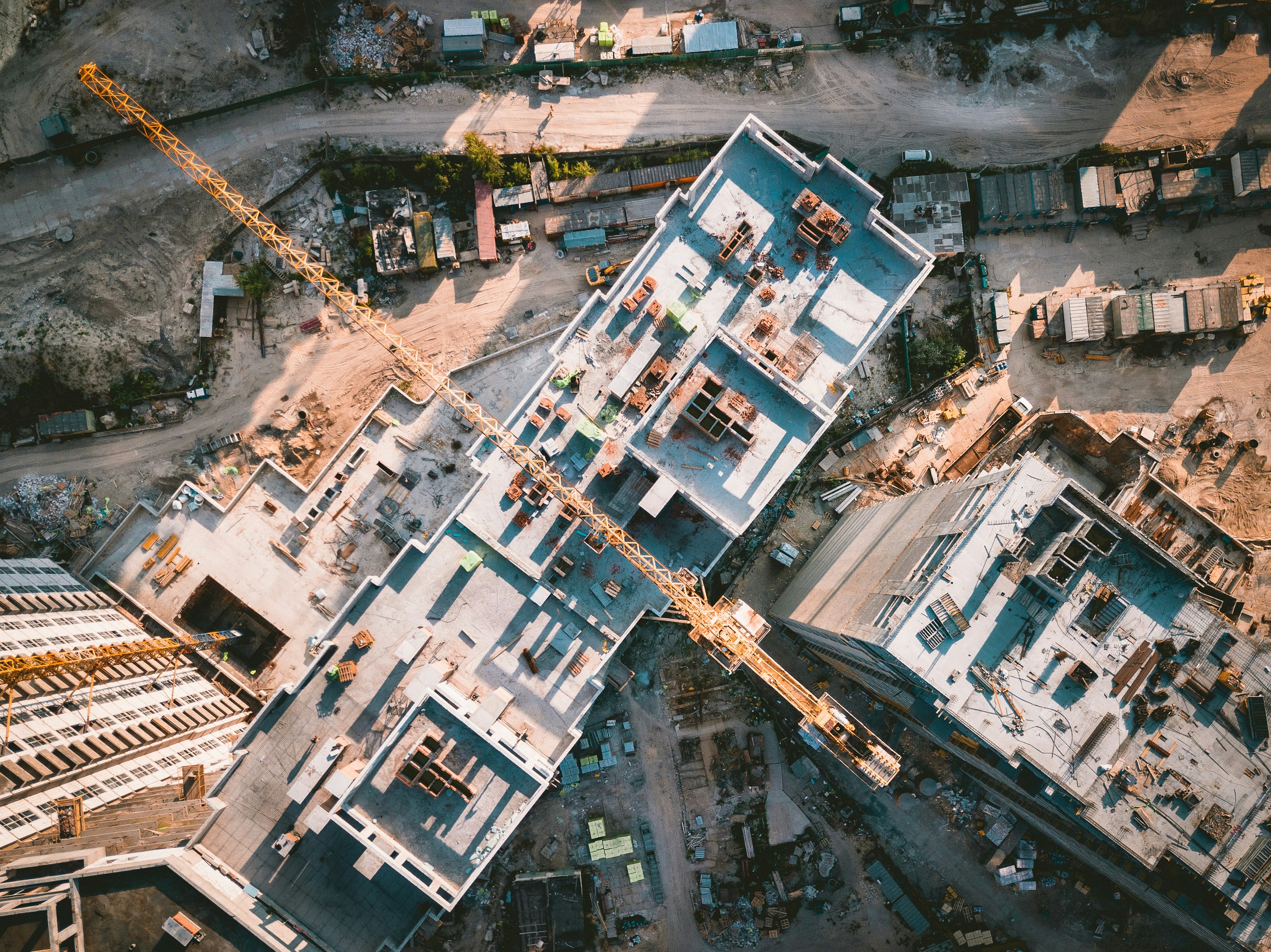
From centimetre-accurate 3D models to NDVI crop health maps and construction site documentation, we turn drone flights into actionable geospatial intelligence.
3D photogrammetry, corridor mapping, and change detection for pipelines, transmission lines, and large-scale land projects.
Site progress records, pre/post surveys, safety compliance monitoring, and developer marketing content from site prep to final handover.
NDVI crop health mapping, field scouting, farmland documentation, and livestock monitoring for Ontario producers.
Tell us the site, the objective, and the timeline. We respond within 3 business days.