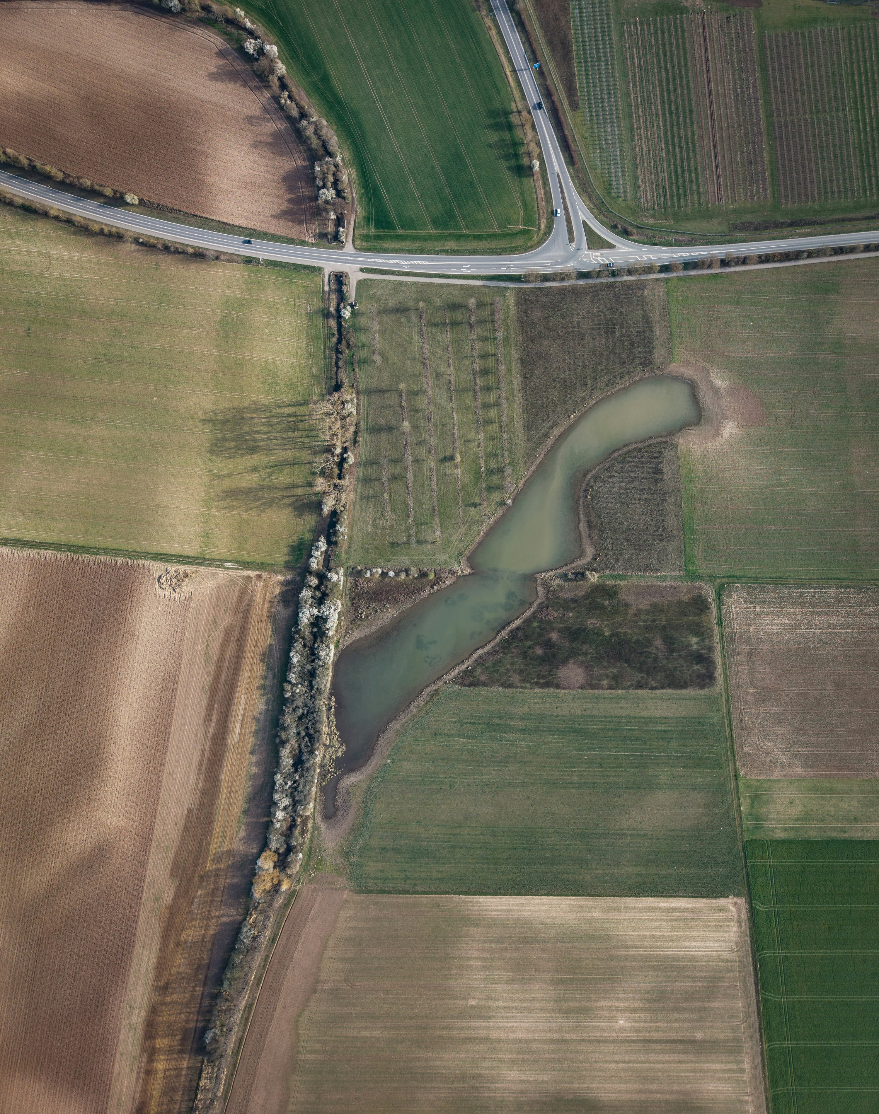
3D Mapping & Photogrammetry
- Produces centimetre-accurate 3D models and orthomosaic maps directly from aerial imagery, with no ground crew required.
- Enables precise volumetric calculations for earthworks, stockpiles, and cut/fill so you know exactly what has been moved.
- Lets you compare what was built against what was designed, and feed that data straight into BIM workflows.
- Creates a digital twin of the site that stakeholders can review without setting foot on it.
E.g., 3D aerial maps surface a stockpile discrepancy. The project team has the numbers to challenge the billing directly.
Corridor Mapping
- Produces high-resolution orthomosaics across your full right-of-way, covering pipelines, transmission lines, and rail corridors.
- Identifies encroachments, erosion, and vegetation growth that may not show up in a ground-level inspection.
- Creates a baseline you can reference for compliance reviews, permit applications, and expansion planning.
- Covers large corridor distances in a fraction of the time it would take ground survey crews to complete the same area.
E.g., A corridor scan flags encroachment above a buried pipeline at a fraction of the cost and time of a ground survey.
Change Detection
- Compares flights week over week to flag erosion, encroachment, or unauthorized activity the moment it appears.
- Capable of delivering corridor surveillance significantly faster than ground or helicopter patrols, covering more ground more often.
- Automatically highlights anomalies so ground teams are dispatched to verified issues, not hunches.
- Builds a searchable visual audit trail that supports CER compliance and incident documentation.
E.g., Week-to-week imagery catches vegetation growth encroaching on a transmission line right-of-way, prompting a clearing crew before it causes an outage.