← All Equipment

The right platform for every mission.

Four aircraft covering enterprise mapping, thermal inspection, high-resolution imaging, and confined-space access. Each is selected and configured to match the requirements of the operation.

DJI Matrice 400

Multi Purpose Enterprise Aircraft
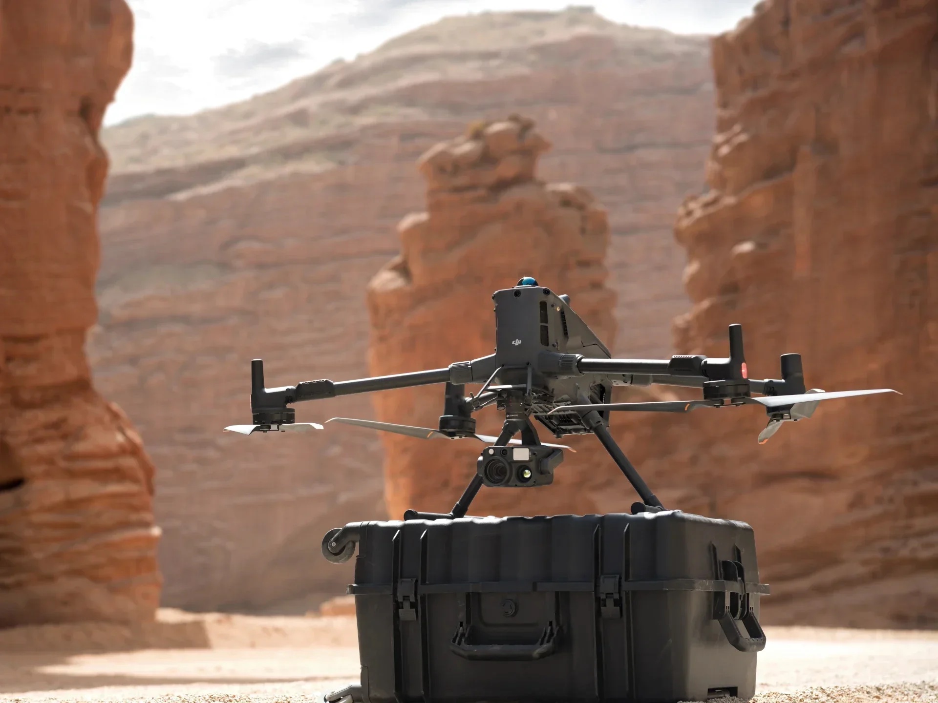
DJI Matrice 400 in flight over desert canyon terrain

Overview

  • Top-of-line enterprise drone platform from DJI, built for demanding field operations.
  • Omnidirectional obstacle sensing for safe low-altitude proximity flights near structures.
  • IP54 weather-resistant rating, keeping it operational in light rain, dust, and challenging field conditions.
  • ~42-minute flight time with onboard RTK for centimetre-accurate positioning.

Payload & Capabilities

  • Compatible with the full Zenmuse payload series, including L3 LiDAR, H30T thermal/zoom, and more.
  • Dual-operator mode lets the pilot and payload specialist operate independently for maximum data quality.
  • D-RTK 2 onboard module delivers sub-centimetre positioning without an external base station.
  • High-bandwidth data link for real-time payload feed at extended operational ranges.

Mission Use

  • Primary platform for LiDAR terrain mapping, infrastructure inspection, and corridor surveys.
  • Handles complex construction mapping, volumetric analysis, and high-value site documentation.
  • Data outputs feed directly into DJI Terra for 3D reconstruction and point cloud processing.
  • Deployed on any mission requiring enterprise payloads, RTK precision, or extended endurance.
DJI Matrice 4T

Enterprise Aircraft with Thermal Capabilities
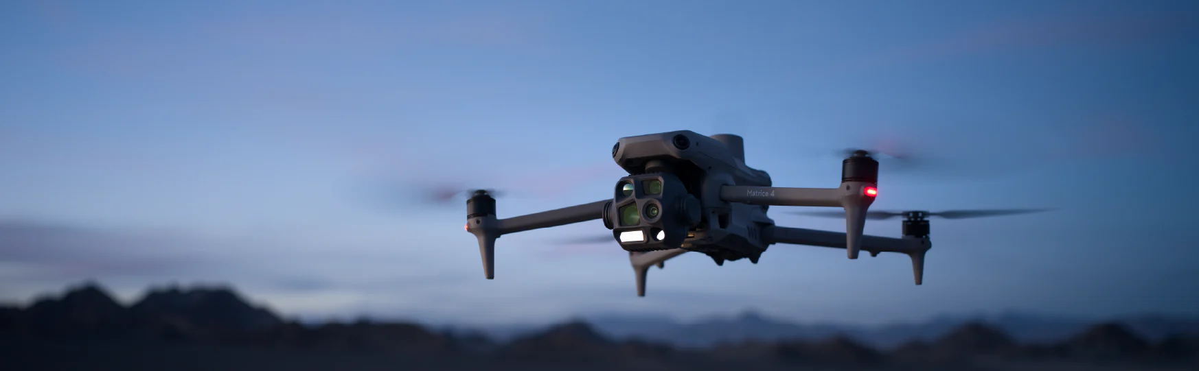
DJI Matrice 4T in flight at dusk

Overview

  • All-in-one thermal enterprise drone with thermal, wide, and zoom cameras built in and no payload to mount.
  • Backpack-portable form factor designed for rapid field deployment, first-responder and field-ready.
  • No warm-up, calibration, or payload connection delays; operational within minutes of arrival.
  • Designed for missions where thermal is the primary deliverable and speed of deployment matters.

Integrated Sensors

  • 640×512 uncooled thermal sensor with radiometric temperature measurement for quantitative analysis.
  • 48MP wide camera for high-resolution visual documentation alongside every thermal capture.
  • 70× hybrid zoom for long-range inspection without requiring close-proximity flights.
  • Laser rangefinder for accurate distance measurement and geo-referenced thermal data.

Mission Use

  • Public safety operations including search and rescue, wildfire monitoring, and emergency staging.
  • Facility thermal surveys covering roof inspections, solar array diagnostics, and building envelope analysis.
  • Rapid-response hotspot identification where setup time directly affects outcome.
  • Preferred platform when thermal data is the primary deliverable and portability is required.

DJI Mavic 4 Pro

Cinematic Aircraft
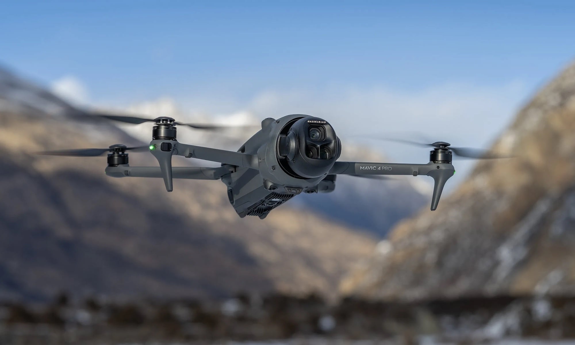
DJI Mavic 4 Pro

Overview

  • Folding compact drone with a professional triple-camera system on a three-axis stabilized gimbal.
  • Portable enough to deploy on short-notice site visits without a dedicated equipment case.
  • Cinema-quality stabilization in variable wind and dynamic flight conditions.
  • Used across construction, facilities, and general documentation workflows.

Camera System

  • 100MP wide camera for maximum resolution site documentation, orthomosaic mapping, and photogrammetry.
  • 50MP medium tele: ideal standoff distance for inspection without proximity risk.
  • 50MP long tele: close-up structural detail without requiring flight near the subject.
  • 4K/60fps video across all three cameras for high-frame-rate documentation and walkthroughs.

Mission Use

  • Primary platform for visual site documentation, aerial photography, and pre/post surveys.
  • Used for photogrammetry and 3D reconstruction when LiDAR-grade accuracy is not required.
  • Deployed for client reporting imagery, marketing visuals, and permit documentation.
  • Versatile across construction, agriculture, and general project capture workflows.

DJI Avata 2

FPV Aircraft
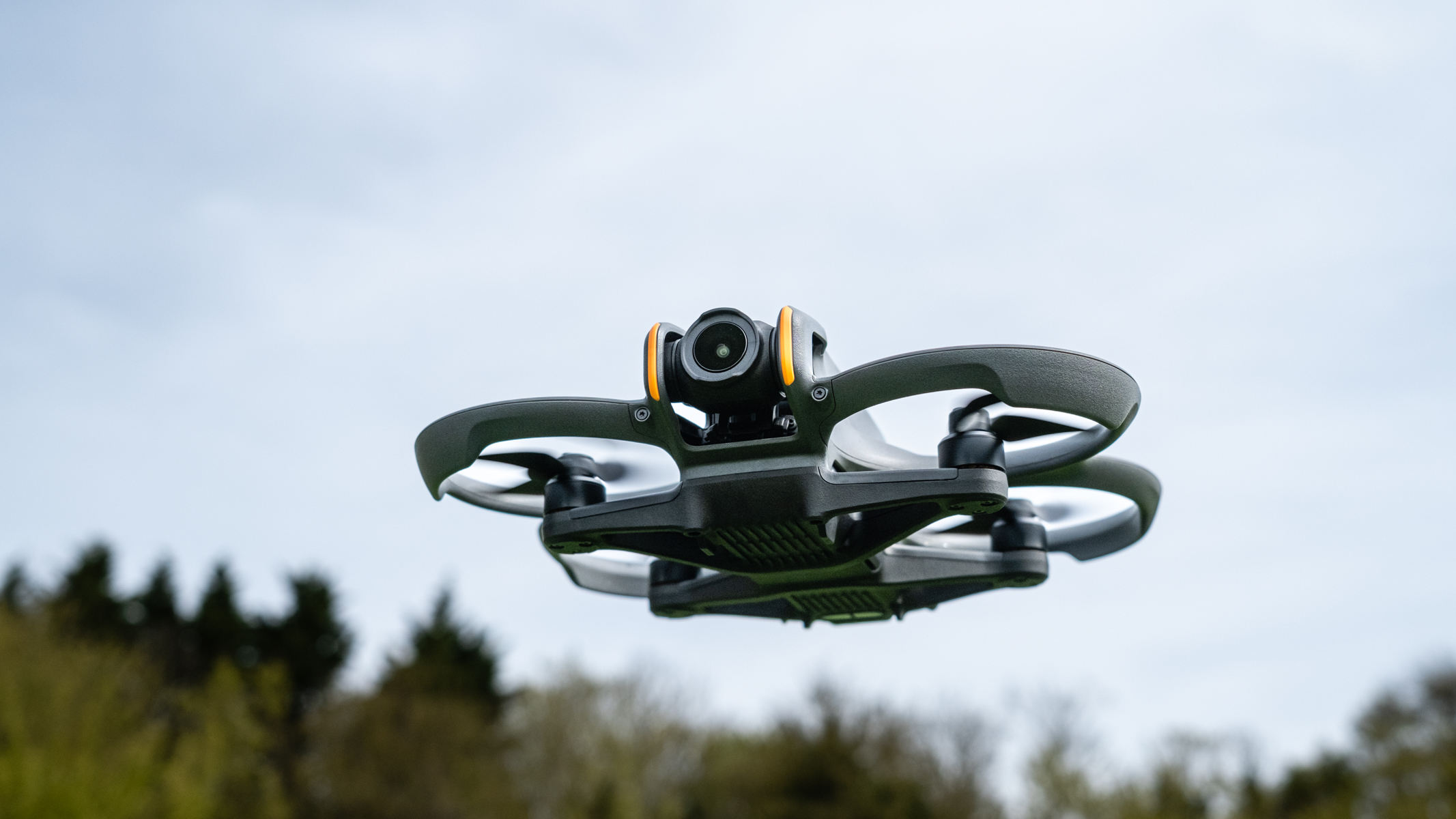
DJI Avata 2 FPV drone

Overview

  • FPV drone with a compact ducted propeller design and integrated propeller guards for proximity operations.
  • Operated with FPV goggles providing a full first-person perspective for precise navigation.
  • Stable hover without GPS signal, usable indoors, under canopies, or in signal-limited environments.
  • Designed to access areas where conventional drones cannot safely operate.

Imaging Capabilities

  • 4K/60fps with a 155° wide-angle lens for complete environmental context in confined spaces.
  • Built-in image stabilization for smooth footage in tight, dynamic flight paths.
  • Propeller guards allow close-proximity flight near racking, ceilings, and structural elements.
  • Compact form factor fits through standard doorways and most industrial access points.

Mission Use

  • Interior warehouse and facility walkthroughs for racking inspection, leak detection, and structural review.
  • Under-structure access for bridge underdeck, overhead racking systems, and ceiling cavities.
  • Any mission requiring documentation in tight-access areas where larger aircraft cannot safely fly.
  • FPV perspective provides immersive video for insurance, maintenance planning, and client reporting.

Ready to discuss your project?

Tell us the site, the objective, and the timeline. We respond within 3 business days.